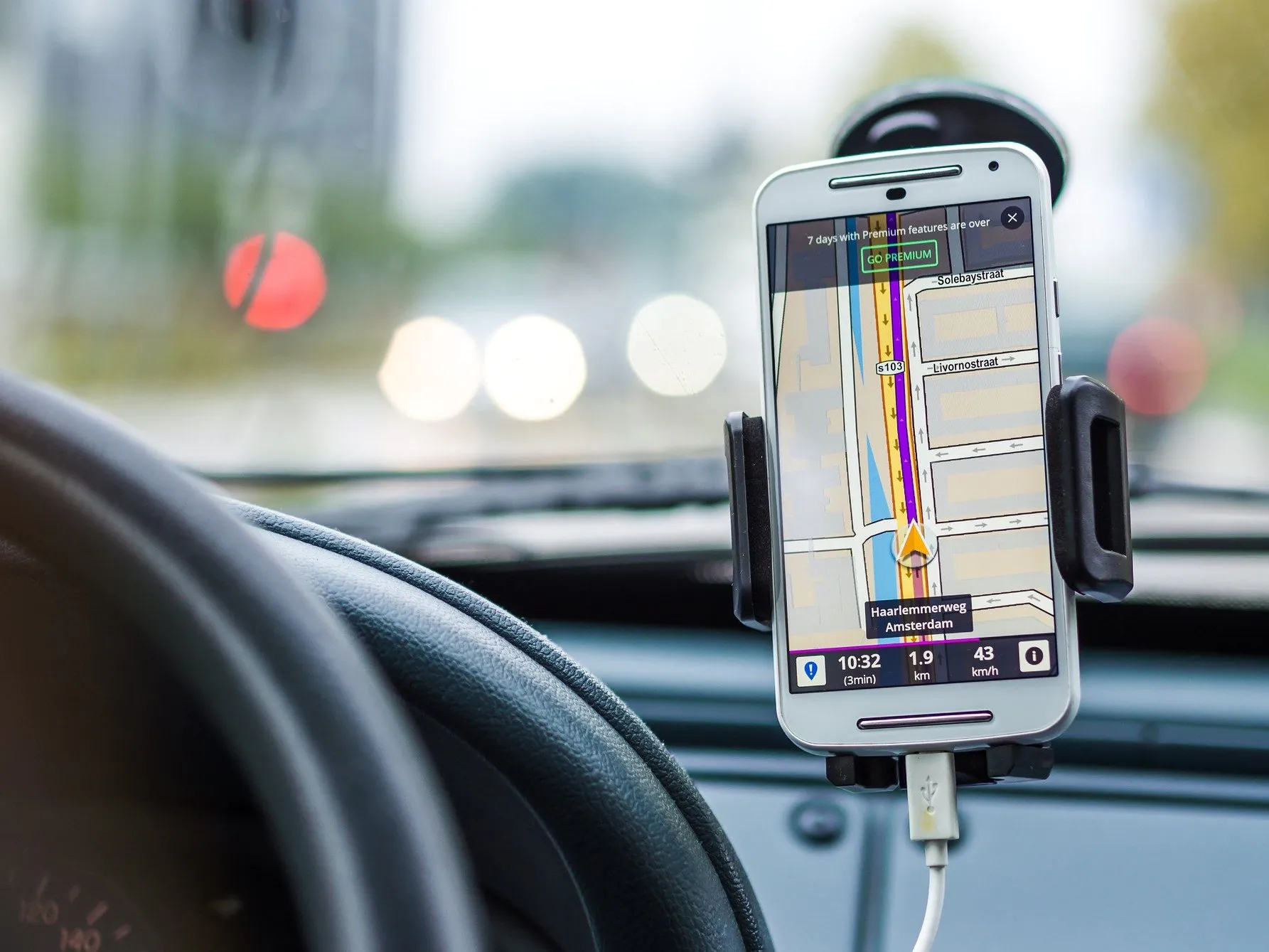
Maps have been replaced by technical navigation systems that use satellite signals and radio to determine positions and guide drivers to their destinations. Such systems are not only used in road navigation, but also in private and commercial maritime and aviation, as well as in indoor navigation of, for example, driverless transport systems or other autonomous vehicles.
There are several global systems for satellite navigation, and most receiver devices can receive signals from multiple technologies. In the following article, we explain how satellite navigation works and compare different systems currently available for navigation.
GPS – Global Positioning System
Probably the best known and most important positioning method worldwide is the “Global Positioning System” (GPS). It is widely used in navigation systems and is used in all application scenarios mentioned above. Since GPS is based on the signals of a global satellite network, it is available worldwide for navigation.
The navigation technology was developed by the U.S. Department of Defense in the 1970s. In the late 1990s, an artificially degraded service was made available for civilian use for the first time. Since 2000, GPS has also been released with full power for civilian use, enabling position determination to an accuracy of about ten meters. The official name of the technology is “Navigational Satellite Timing and Ranging – Global Positioning System”, abbreviated as NAVSTAR-GPS. In the meantime, the abbreviation GPS is often used to refer to all satellite-based navigation systems, although these are correctly grouped under the term “Global Navigation Satellite Systems” (GNSS).
Glonass
Another global satellite navigation system is “Glonass”, which is financed and operated by the Russian Ministry of Defense. For military reasons, it was developed at the same time as the U.S. NAVSTAR GPS, and the two systems are also technically based on the same mode of operation. The full Glonass deployment consists of 21 standard and 3 reserve satellites and ground stations in Russia and Ukraine. Due to a decline in the number of functioning satellites to less than full capacity, however, Glonass was temporarily inoperable.
Galileo
Since 2016, there has also been a European GNSS, “Galileo,” which is funded by the EU and operated jointly with ESA. Galileo is also freely usable worldwide. There are currently 28 satellites of this navigation system in orbit, which are controlled by a network of ground stations. Galileo satellites transmit their signals unencrypted over three frequency bands, one of which is shared with NAVSTAR-GPS. The navigation system enables an accuracy of up to a few centimeters; for mobile handheld devices, location determination is possible to an accuracy of about four meters. Galileo thus outperforms its competitors GPS and Glonass.
Technical operation of satellite navigation
The satellite navigation systems described above are based on similar technology: GNSS devices, the so-called receivers, can basically only receive signals, but not transmit them. The satellites on the other side transmit continuously, but the frequencies used and the code differ depending on the technology.
In satellite navigation, the position of the receiver is determined by measuring the distance to several satellites. The distance to a single satellite limits the possible receiver positions only to the surface of a sphere that has the satellite as its center. Since the location must be on the earth, there remains a circular intersection between the earth sphere and the range sphere on which the receiver can be located. To narrow down the exact location of the GNSS device, it needs the distance to three satellites. The receiver location is then given by the intersection of the three range spheres and is determined mathematically using a Cartesian coordinate system.
Since the distance between satellite and receiver cannot be measured directly, it is derived from the propagation time of the radio signal. This can be compared in a simplified way with the principle of distance determination during thunderstorms. Since the receiver cannot actively communicate with the satellite, the received signal carries its transmission time as a code. However, this is the GNSS system time with which the receiver is not synchronized. To achieve synchronization, the difference between the receiver clock and the GNSS time is used as an additional unknown in the computational position determination. The task now is to solve a system of equations with four unknowns (longitude, latitude, altitude, time). This requires four equations, i.e. the signals from four satellites
Beidou
In addition to the systems listed above, there is another common satellite navigation technology. “Beidou” is a Chinese system that allows position determination with an accuracy of up to 10 meters. Unlike NAVSTAR-GPS, Galileo and Glonass, however, Beidou is a dual-satellite positioning system. With this method, bidirectional communication is possible, so receiver devices also send a response to the satellite. This method allows location determination with only two satellites and, in addition, the sending of short text messages.
Due to a small number of satellites, Beidou was initially only available in a very limited geographical area. Thanks to a gradual expansion, the system has been working globally since last year and has only a few blind spots. Nevertheless, Beidou is currently supported mainly by products from Asian manufacturers.
Multi-constellation receiver
Most GNSS receivers are so-called “multi-constellation receivers”, i.e. devices that can receive signals from satellites of different technologies (constellations). This means that there are more satellites in the receiver’s field of view at any given time than if only one technology is used. This leads to increased availability and continuity: if one system’s signal is blocked or jammed, there is a high probability that another signal will be available. Other technologies can also be relied upon in the extremely rare event of a satellite navigation system failure.
In addition, such receivers allow for increased accuracy of position and time determination, as differences between technologies can be determined. In addition, the closer the transmitting satellites are to each other, the less accurate the location determination. Therefore, a larger selection can lead to more accuracy. This is helpful for autonomous mobility and driving assistance systems, for example.


